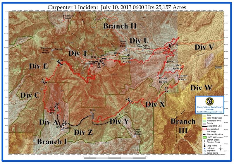
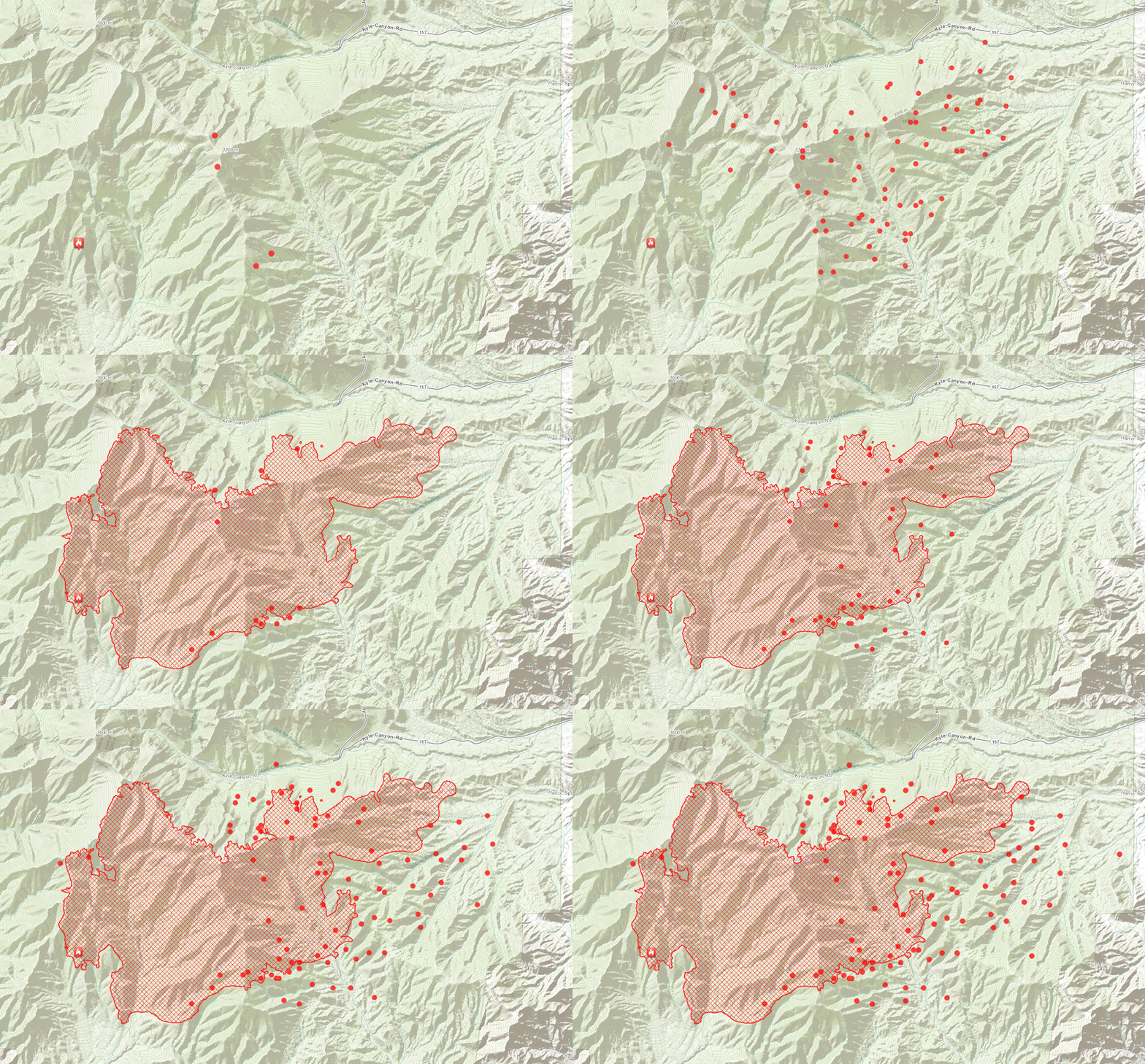
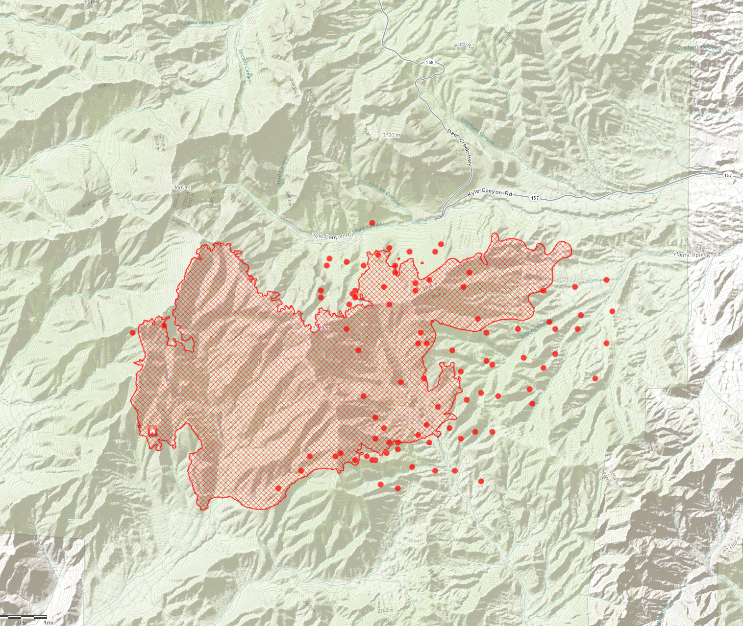
Carpenter 1 Fire New Map Released - Click to View
Carpenter 1 Wildfire Update: Wednesday, July10, 2013 9:00 a.m.
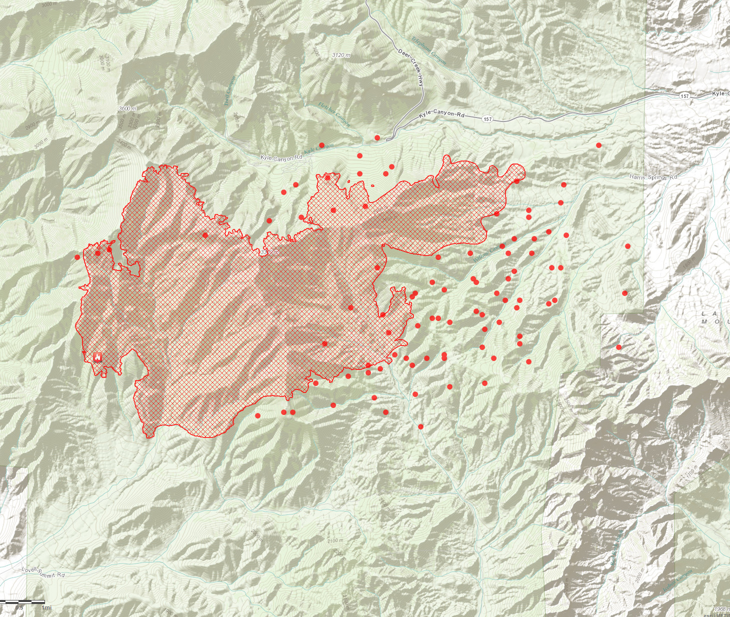
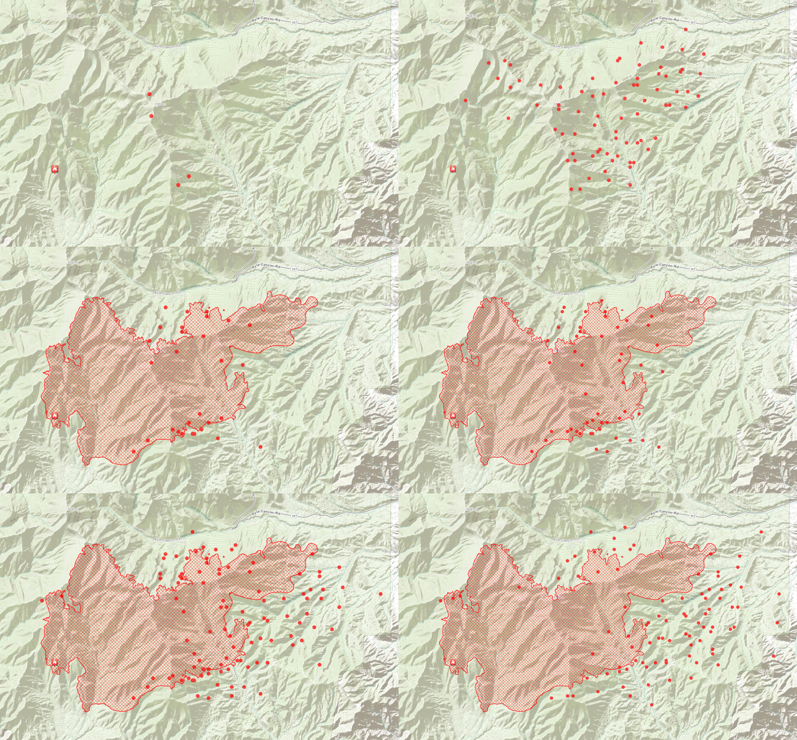
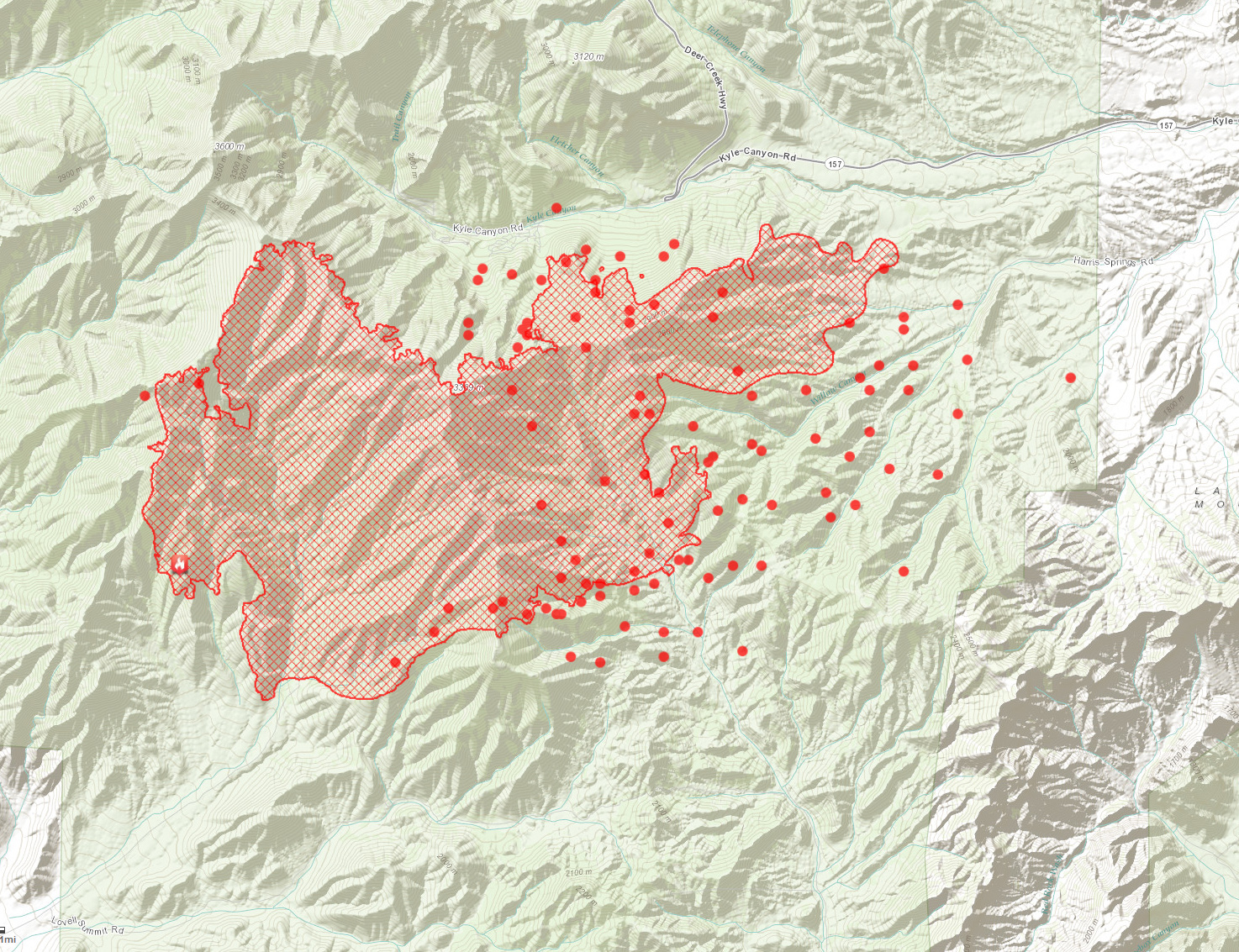
Fire activity increased on Tuesday from southwest winds gusting up to 30 mph. The fire pushed northeast, through Harris Springs and Prospect Springs onto Bureau of Land Management property. An additional 5,767 acres burned, one commercial structure and five others were lost on the Prospect Ranch. The fire slopped north across Kyle Canyon Road around Mile Marker 6, east of Harris Springs Road. Dozers, engines and hand crews worked late into the night to stop the fire growth in this location. Overnight burnout operations on Tuesday brought a blackened line to the edge of the Rainbow Subdivision. On Tuesday, helicopters flew more than 43 hours and dropped 162,000 gallons of water on the fire. Four Single Engine Air Tankers (SEATS) each dropped two loads of retardant and the Very Large Air Tanker (VLAT) supported these operations.
Todays Activity
Additionally, 274 firefighters joined the incident for Wednesdays shift. Fire managers are expecting another active fire day, with weather conditions similar to Tuesday. Firefighters are working with dozers to build containment lines around the 3-400 acre slopover across Kyle Canyon Road. Large helicopters will support this operation with water and retardant drops. Hot Shot crews will work to strengthen the containment lines on the west side of the fire, above Lee Spring. On the north side of the fire, by Rainbow Subdivision, crews will continue to strengthen the fire edge near Cathedral Rock.
Strategic burnout operations will continue in Lovell Canyon, moving to the northeast. The fire has burned into lighter fuels and flatter terrain on this eastern side, and fire managers are optimistic about containing this fire edge and further securing the Prospect and Harris Ranch areas.
Current Situation
| Total Personnel | 1,077 |
|---|---|
| Size | 25,524 acres |
| Percent Contained | 10% |
| Fuels Involved | Pinyon Juniper |
| Fire Behavior | Running fire behavior with short crown runs. Group tree torching and spotting. |
| Significant Events | The Great Basin Incident Management Team #2 assumed command of the Carpenter 1 Fire at 0600 on Sunday, July 7. |



 Archives