Category: Mt. Charleston

Raintree – Mummy Springs Hike (Mt. Charleston)

June 6, 2016
Raintree

Raintree is a 3,000-year-old Bristlecone Pine Tree

One of the Oldest living things in the State of Nevada is a 3,000 year+ Bristlecone Pine Tree called “Raintree”.  This 6 mile round trip hike  has about 1700 ft. elevation gain and altitudes over 10,000 ft. It takes about 3.5 hours. Once you make it to the “Raintree” it is about 1/3 mile to  Mummy Springs veering right on the trail.

The trailhead is located up in the Spring Mountains on Deer Creek Road between Kyle and Lee Canyons, about 1 hour northwest of Las Vegas.

From town, drive north on Highway 95 to Highway 157 (Kyle Canyon Road). Turn left onto Highway 157 and drive west for 17.1 miles to Highway 158 (Deer Creek Road), which is just past the Mt. Charleston Hotel. Turn right onto Highway 158 and drive north for another 4.8 miles to the second turnout past Hilltop Campground. Watch for a paved parking area on the west (left) side of the road with a large sign. Trailhead starts here.

North Loop Trailhead for Raintree/ Mummy Springs

North Loop Trailhead for Raintree/ Mummy Springs

Raintree Mummy Springs

Raintree / Mummy Springs Hike in Mt. Charleston

Tree that looks like an Elephant

Tree that looks like an Elephant on the trail

Please respect the Bristlecones, as well as the other trees and do NOT remove or deface them in anyway.

Photos by: Lasvegas360.com

Posted by: Vegas Info      catagory Hiking, Mt. Charleston, Off The Beaten Path comments 2 Comments

Mount Charleston On Fire – Carpenter 1 Wildfire: Update 7:22 pm 7/8/2013

July 1, 2015
Carpenter 1 Fire in Mount Charleston

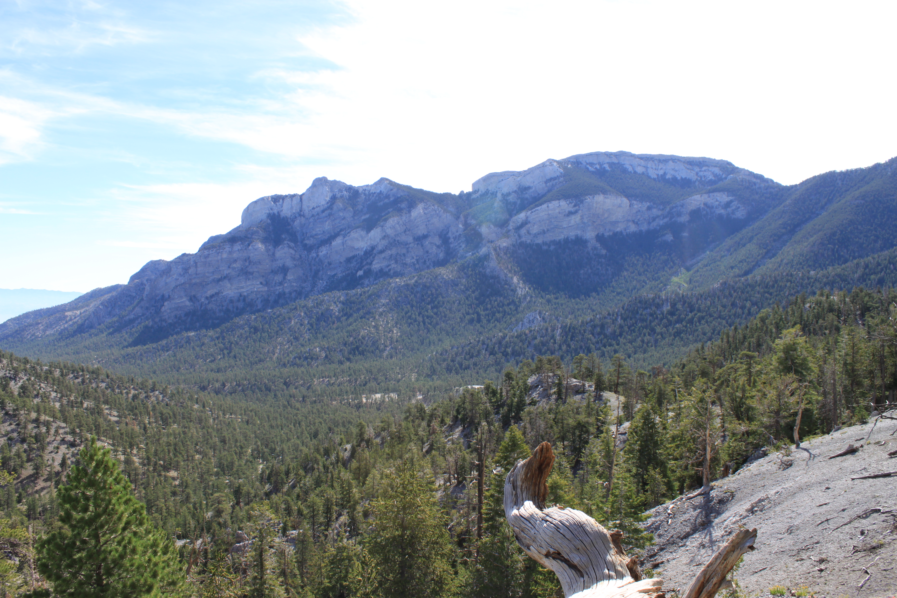
Carpenter 1 Fire in Mount Charleston as Seen From Summerlin on July 5, 2013

The Carpenter 1 Fire which started on Monday July 1, 2013 by a lighting strike has expanded to over 11000 acres, the fire started on the west side of the Spring Mountains or as we call it, the Pahrump side of the mountain. The Fire has been burning for over six days and has crossed over the ridge and has descended on to the Kyle Canyon side of the mountain. Over 400 firefighters, five helicopters and four heavy air tankers are currently assaulting the fast burning fire.

The Red Cross has set up two shelters, one at Hafen Elementary in Pahrump on the south and west side of the fire and the other at James Bilbray Elementary at 9370 Brent Lane in Las Vegas on the east side of the fire.

The shelters are open 24 hours a day. Local governmental partners are making animal sheltering available for animals and pets of all types. Red Cross also delivering food and water to residents gathering at the perimeter of the evacuation areas.

Road closures include: Lee Canyon Road. (State Route 156) is closed at U.S. 95., Kyle Canyon Road (State Route 57) is closed at U.S. Route 95, Trout Canyon Road is closed at State Route 160, Lovell Canyon Road is closed at Trout Canyon Road. Mt. Charleston is located 40 mins Northwest of Las Vegas.

Photo By: LasVegas360.com

Update: Burn Area or Hot Spots

Orange – Area of Satellite Indicated Hotspots, Red – the Original Carpenter 1 Fire

carpenter-fire-mt-charleston

Red Carpenter Fire, Orange is Satellite Hot spot Areas – click to view larger

MODIS hot spot from satellite sensor, estimated location (1km).

Source: ESRI http://www.esri.com/services/disaster-response/wildlandfire/user-maps

New Large Map as  July 7, 2013 9:30 pm PDT

Hot Spot Map Carpenter Fire 1- Mt Charleston July 6, 2013 4:15 pm PST

Hot Spot Map Carpenter Fire 1- Mt Charleston July 6, 2013 4:15 pm PST – Click to view Large Map


Hot Spot Map Carpenter Fire 1- Mt Charleston July 6, 2013 10:15 pm PST - Click to view Large Map

Hot Spot Map Carpenter Fire 1- Mt Charleston July 6, 2013 10:15 pm PST – Click to view Large Map

Update: July 7, 2013 9:30 pm PDT – now 14,458 acres now burned

Hot Spot Map Carpenter Fire 1- Mt Charleston July 7, 2013 9:00 pm PST - Click to view Large Map

Hot Spot Map Carpenter Fire 1- Mt Charleston July 7 2013 9:00 pm PST – Click to view Large Map

Carpenter Fire 1 7/8/2013 7:20 am

Hot Spot Map Carpenter Fire 1- Mt Charleston 7/8/2013 7:20 am – Click to view Large Map

Basic Information

Incident Type Wildfire
Cause Lightning
Date of Origin Monday July 01st, 2013 approx. 12:00 PM
Location Fire location is one mile from Kyle Canyon
Incident Commander Rich Harvey

Current Situation

Total Personnel 753
Size 14,458 acres
Percent Contained 15%
Fuels Involved Pinyon Juniper
Fire Behavior Running fire behavior with short crown runs. Group tree torching and spotting.
Significant Events The Great Basin Incident Management Team #2 assumed command of the Carpenter 1 Fire at 0600 on Sunday, July 7.

Outlook

Planned Actions Crews continue to do structure protection. Assess possible containment strategies.
Growth Potential High
Terrain Difficulty Extreme
Remarks PROJECTED FIRE MOVEMENT: North into Kyle and Lee Canyons, southwest toward Trout Creek and east to Lovell Canyon and Harris Springs Canyon. During the next 24 hours, it may hook north into the lower end of Kyle Canyon.

Info As of 7:22 pm PST July 8, 2013 : http://www.inciweb.org/incident/3481/


Posted by: Vegas Info      catagory Mt. Charleston comments Leave a comment

Fletcher Canyon Trail, Mt Charleston, Nevada

June 5, 2015

Hiking in Mt. Charleston, Fletcher Canyon.

Fletcher Canyon Trailhead in the Spring Mountains National Recreational Area

This is a great hike, 1.8-2 miles one way, this is a relative easy hike. The starting elevation is at 6,822 ft and goes up to 7,610 ft to the narrow canyon.  This hike is frequented by lots of hikers with their dogs. On one visit we saw over 20 different dogs with their owners. (If you bring your dog, make sure you pick up after your pets, thank you!) On the trail, you may cross a stream of cold mountain water (seasonal). Follow the foot path climbing up as the canyon walls narrow and you enter a slot canyon filled with living trees, ferns, wild roses; as well as debris (logs, rocks) washed down by flash floods. You will eventually dead end at an obstacle rock. This is the turn around point for most hikers.  More adventurous hikers tell us you can get around the rock and continue on to Stanley B. Springs.

Time on Hike: 2-3 hours depending on your resting/downtime.

SR 157 at Fletcher Canyon Trailhead- looking up towards Kyle Canyon

Driving directions: 15 N from Las Vegas to 95 N toward Reno, W on SR 157 (Mt. Charleston – Kyle Canyon) 18.1 miles (which is 1/2 mile past junction with SR 158); look for small parking area and trailhead on R (N) side of road just before reaching the USFS Visitors Center. There is very limited parking

In Fletcher Canyon looking down

Looking up at Fletcher Peak 10,319 ft / 3,145 m

GPS track of our hike, covered 4 miles up and back on the trail.

Posted by: Webmaster      catagory Hiking, Mt. Charleston, Off The Beaten Path comments 1 Comment

Bristlecone Trail Hike – Lee Canyon, Nevada

September 29, 2014

Bristlecone TrailGPS: N36° 18′ 23.8386″  – W115° 40′ 41.4588″ (WGS 84)

The Bristlecone Trail starting point is know as the Upper Bristlecone Trail. It is located a the very end of the Lee Canyon Road (Highway 156). Take US 95 toward Reno, pass the Mountain Charleston turn-off continuing straight for 10 miles, make a left on Lee Canyon Road (Highway 156), follow it until it ends. It trailhead starts in the parking lot of the Las Vegas Ski & Snowboard Resort, where the turnaround or helicopter landing pad is located. This hike will take you 2-3 hours to complete, depending on stops and breaks. The trail is clearly marked and you will notice a fence on either side of the trail for the first quarter of a mile. This was installed to protect some sensitive plants for butterflies.  The first part of the trail is lined with Ponderosa Pine, Aspens, and further near the summit are the Bristlecone Pines. The hike offers great views of Lee Canyon and the surrounding area. Even with 105°+ temperatures in Las Vegas the mountain offer a cool escape from the dreaded heat.

Warnings: This hike starts out at 8,600 feet and reaches an altitude of 9,381 feet.  So if you just came up from the valley desert floor, be prepared for some heaving breathing. Also, beware that there are mountain bikers on the trails, so watch out.  The dirt road portion of the hike (last 4 miles) is quite wide and has room for everyone and has a gentle slope.

The full loop back to the parking lot is just under 6 miles.  The hardest part is the first 2 miles. Once pass the summit, it is a gentle slope to the Lower Bristlecone Trailhead. A final small hike along the roadside for 1/2 mile will bring you back your starting place. This hike is not a difficult hike – just a little long and a lot of breathing for the first 2 miles. Have fun, bring water and be safe.

Update: This trail is great to hike anytime in the summer to get away from the scorching heat of the lower desert floor. But as a reminder, and if you time it right, try to hike it around September 21 and you may catch the Aspens in their golden and reddish Autumn colors before they are discarded to the forest floor.

Lee Canyon – Bristlecone Trail – Click for hi-res photo

View 360° Panoramic of the Bristlecone TrailHead

Base of Las Vegas Ski & Snow Resort – Summer

View 360° Panoramic of the Las Vegas Ski and Snow Resort

Photos by: LasVegas360.com

Posted by: Webmaster      catagory Hiking, Mt. Charleston, Off The Beaten Path comments Leave a comment

Carpenter 1 Fire Update Day 11 Hot Spot Map 7:15am

July 11, 2013
Hot Spot Map Carpenter Fire 1- Mt Charleston July 11 2013 7:15 am PST - Click to view Large Map

Hot Spot Map Carpenter Fire 1- Mt Charleston July 11 2013 7:15 am PST - Click to view Large Map

Here is the latest map. It looks less smokey upon the mountain this morning and there has been some rain come through. I hope it helps. Last Night, fire could be seen from the Las Vegas Valley as flames came over the ridge behind Red Rock Canyon.

Hot Spot Map Carpenter Fire 1- Mt Charleston July 11 2013 7:15 am PST - Click to view Large Map

Hot Spot Animation Carpenter Fire 1- Mt Charleston July 11 2013 7:15 am PST - Click to view animation

Posted by: Vegas Info      catagory Hiking, Mt. Charleston comments Leave a comment

Carpenter 1 Fire Update Day 10 Hot Spot Map 5:30pm

July 10, 2013
Carpenter 1 Fire Mt. Charleston 7/10/2013 5:00pm Click to View Larger Map

Carpenter 1 Fire Mt. Charleston 7/10/2013 5:00pm Click to View Larger Map

Posted by: Vegas Info      catagory Hiking, Mt. Charleston comments Leave a comment