Tag Archives: hike

Fletcher Canyon Trail, Mt Charleston, Nevada

June 5, 2015

Hiking in Mt. Charleston, Fletcher Canyon.

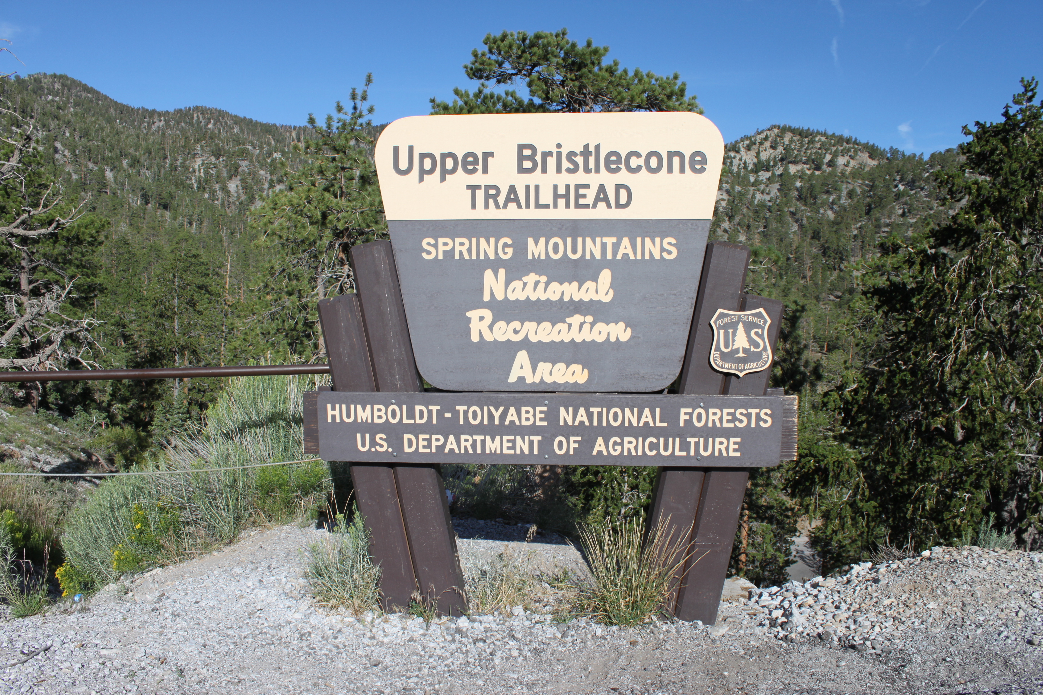
Fletcher Canyon Trailhead in the Spring Mountains National Recreational Area

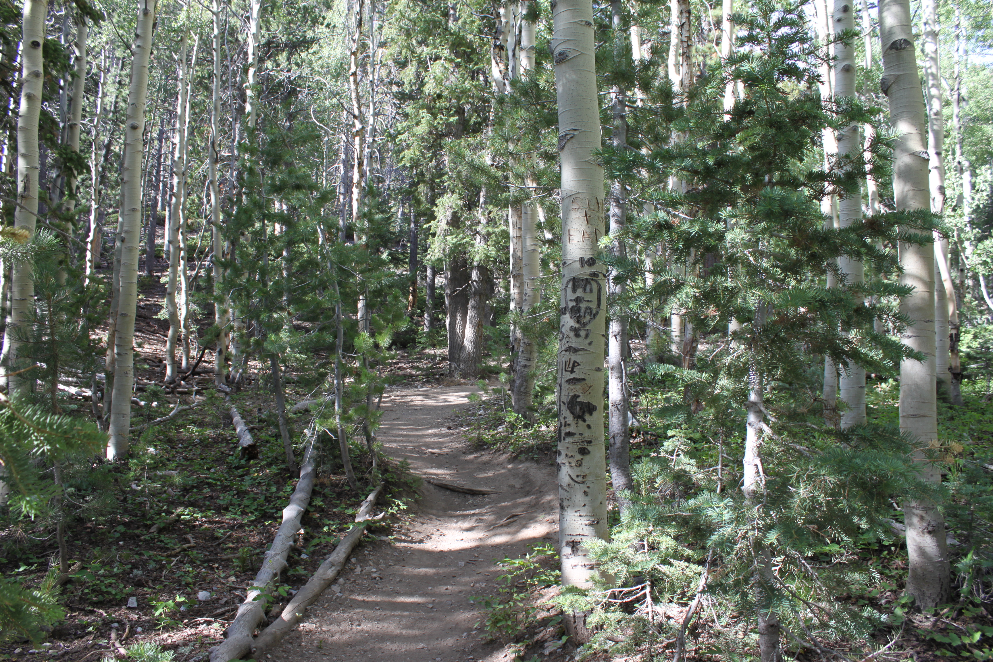
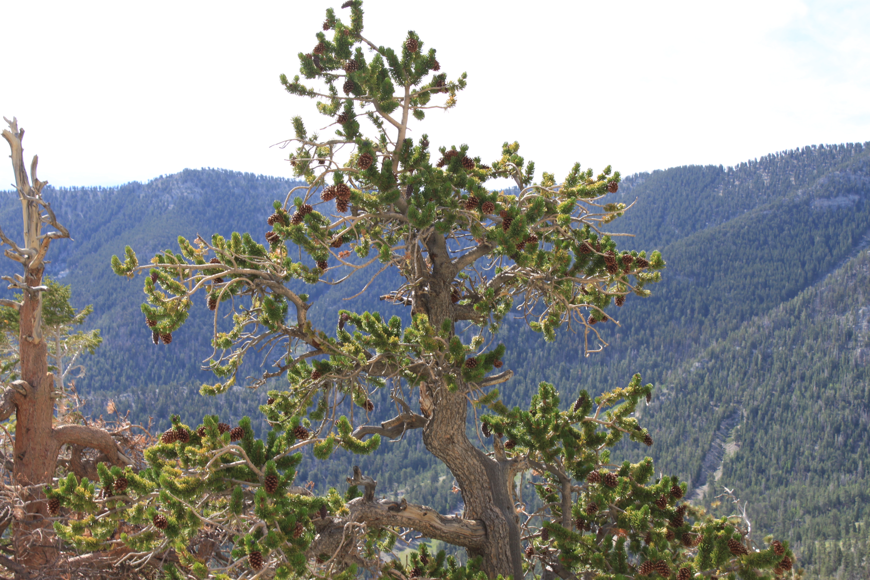
This is a great hike, 1.8-2 miles one way, this is a relative easy hike. The starting elevation is at 6,822 ft and goes up to 7,610 ft to the narrow canyon.  This hike is frequented by lots of hikers with their dogs. On one visit we saw over 20 different dogs with their owners. (If you bring your dog, make sure you pick up after your pets, thank you!) On the trail, you may cross a stream of cold mountain water (seasonal). Follow the foot path climbing up as the canyon walls narrow and you enter a slot canyon filled with living trees, ferns, wild roses; as well as debris (logs, rocks) washed down by flash floods. You will eventually dead end at an obstacle rock. This is the turn around point for most hikers.  More adventurous hikers tell us you can get around the rock and continue on to Stanley B. Springs.

Time on Hike: 2-3 hours depending on your resting/downtime.

SR 157 at Fletcher Canyon Trailhead- looking up towards Kyle Canyon

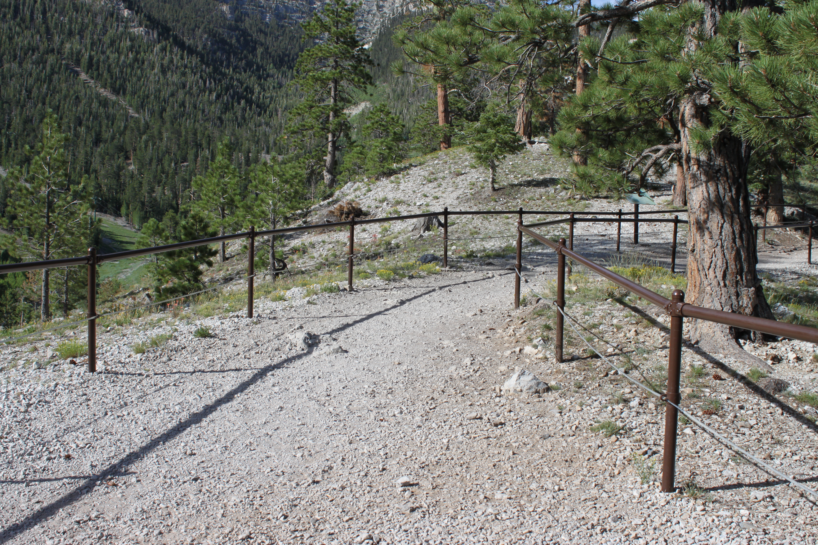
Driving directions: 15 N from Las Vegas to 95 N toward Reno, W on SR 157 (Mt. Charleston – Kyle Canyon) 18.1 miles (which is 1/2 mile past junction with SR 158); look for small parking area and trailhead on R (N) side of road just before reaching the USFS Visitors Center. There is very limited parking

In Fletcher Canyon looking down

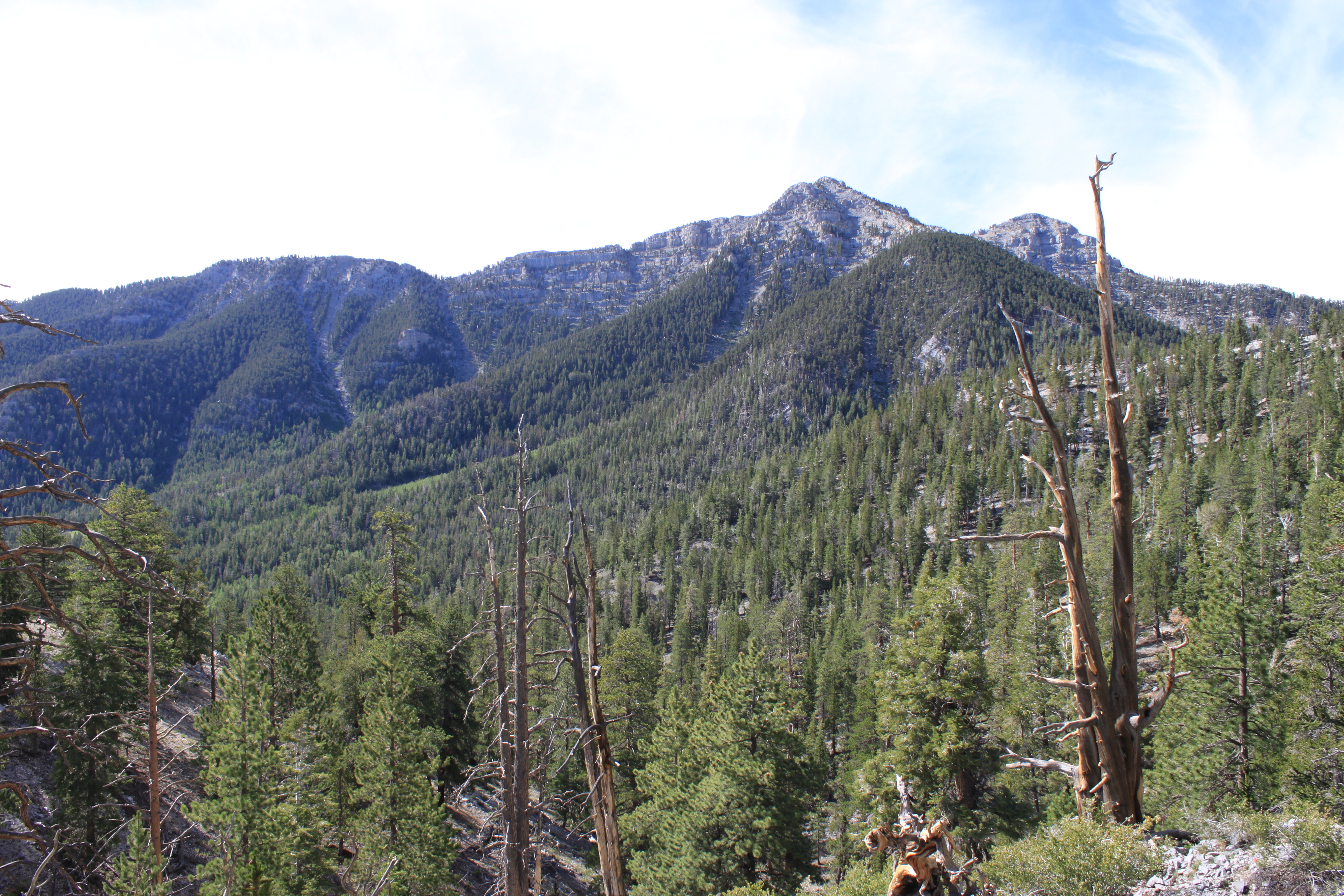
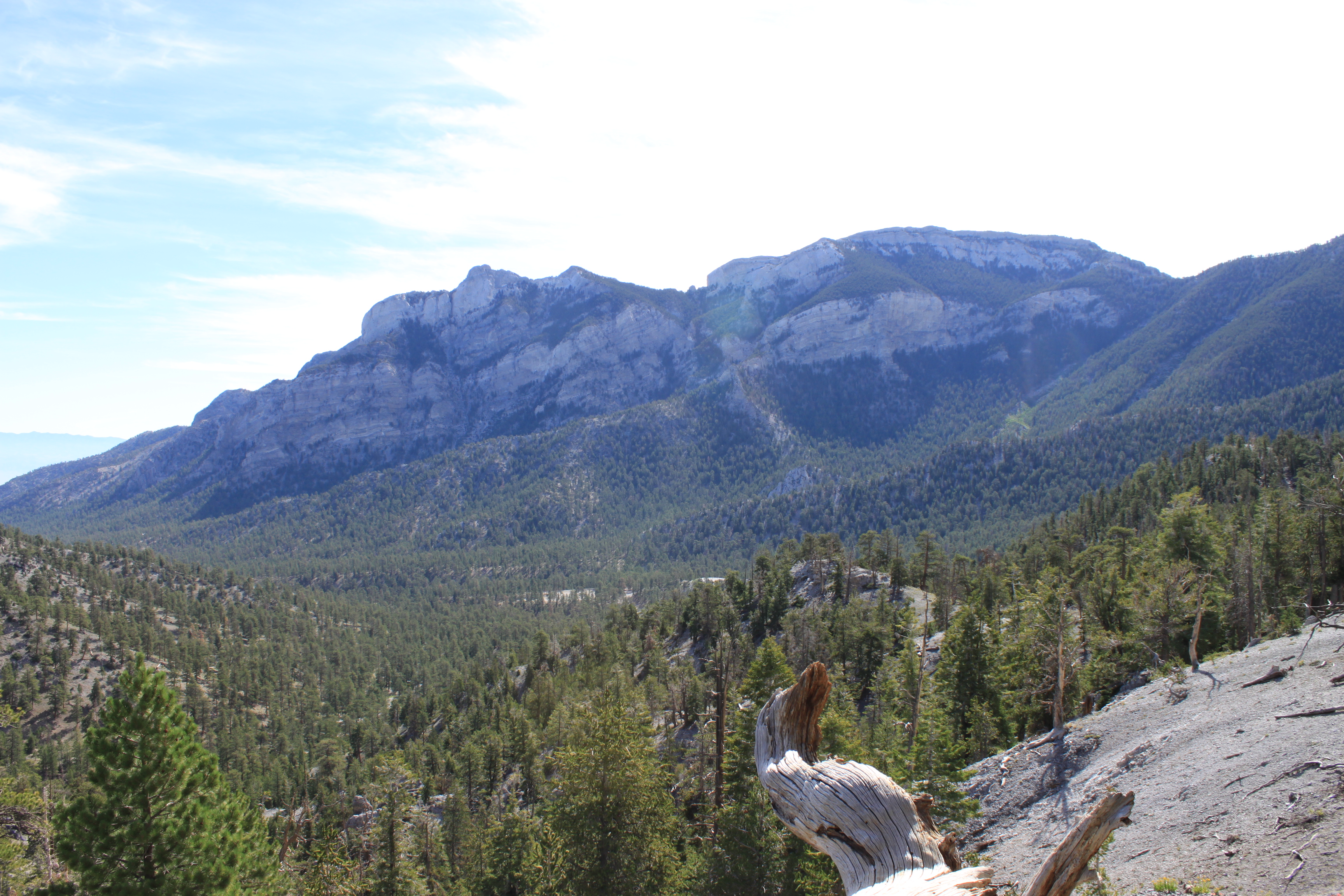
Looking up at Fletcher Peak 10,319 ft / 3,145 m

GPS track of our hike, covered 4 miles up and back on the trail.

Posted by: Webmaster      catagory Hiking, Mt. Charleston, Off The Beaten Path comments 1 Comment

Lone Mountain Hike in northwest part of Las Vegas

March 8, 2015

GPS: N36°14’17.88″ / W115°18’59.026″

Lone Mountain is a steep, isolated, rocky crag located in the northwest part of Las Vegas just inside the Interstate-215 Beltway. The summit stands some 600 feet above the surrounding desert and homes, giving great views of the city and the surrounding mountains.

To get there take the 215 Beltway to West Lone Mountain Road, park at the newly built Lone Mountain Regional Park, there is parking and restrooms at the park. Another alternative route is to park at the end of Vegas Vista Trail  off of West Alexander Road and head up the western side for a more direct route.

Lone Mountain Summit, Las Vegas Nevada

Panoramic view of Lone Mountain Summit, Las Vegas Nevada

Click Here for a 360° Virtual View

There are several routes up Lone Mountain. The Northwest Route is fairly steep, but it is short (0.51 miles) and takes only about 30 minutes if you stop to enjoy the scenery along the way. The other is a longer from the north end. Lone Mountain is good place for a quick get-away or after-work hike. Be careful hiking this during the summer heat it can be very hot. This hike would make a good sunset/sunrise climb with a great view of the Las Vegas valley.

Elevation: 3342 ft.
Photo By: LasVegas360.com

Posted by: Vegas Info      catagory Hiking, Locals, Off The Beaten Path comments Leave a comment

Bristlecone Trail Hike – Lee Canyon, Nevada

September 29, 2014

Bristlecone TrailGPS: N36° 18′ 23.8386″  – W115° 40′ 41.4588″ (WGS 84)

The Bristlecone Trail starting point is know as the Upper Bristlecone Trail. It is located a the very end of the Lee Canyon Road (Highway 156). Take US 95 toward Reno, pass the Mountain Charleston turn-off continuing straight for 10 miles, make a left on Lee Canyon Road (Highway 156), follow it until it ends. It trailhead starts in the parking lot of the Las Vegas Ski & Snowboard Resort, where the turnaround or helicopter landing pad is located. This hike will take you 2-3 hours to complete, depending on stops and breaks. The trail is clearly marked and you will notice a fence on either side of the trail for the first quarter of a mile. This was installed to protect some sensitive plants for butterflies.  The first part of the trail is lined with Ponderosa Pine, Aspens, and further near the summit are the Bristlecone Pines. The hike offers great views of Lee Canyon and the surrounding area. Even with 105°+ temperatures in Las Vegas the mountain offer a cool escape from the dreaded heat.

Warnings: This hike starts out at 8,600 feet and reaches an altitude of 9,381 feet.  So if you just came up from the valley desert floor, be prepared for some heaving breathing. Also, beware that there are mountain bikers on the trails, so watch out.  The dirt road portion of the hike (last 4 miles) is quite wide and has room for everyone and has a gentle slope.

The full loop back to the parking lot is just under 6 miles.  The hardest part is the first 2 miles. Once pass the summit, it is a gentle slope to the Lower Bristlecone Trailhead. A final small hike along the roadside for 1/2 mile will bring you back your starting place. This hike is not a difficult hike – just a little long and a lot of breathing for the first 2 miles. Have fun, bring water and be safe.

Update: This trail is great to hike anytime in the summer to get away from the scorching heat of the lower desert floor. But as a reminder, and if you time it right, try to hike it around September 21 and you may catch the Aspens in their golden and reddish Autumn colors before they are discarded to the forest floor.

Lee Canyon – Bristlecone Trail – Click for hi-res photo

View 360° Panoramic of the Bristlecone TrailHead

Base of Las Vegas Ski & Snow Resort – Summer

View 360° Panoramic of the Las Vegas Ski and Snow Resort

Photos by: LasVegas360.com

Posted by: Webmaster      catagory Hiking, Mt. Charleston, Off The Beaten Path comments Leave a comment

Hike to Hoover Dam, 5 Tunnels Hike

December 2, 2011
5 Tunnels Hike to Hoover Dam

5 Tunnels Hike to Hoover Dam

GPS 36.011096º N   –   114.794076º W

The 5 Tunnels or the Historic Railroad hike to Hoover Dam is on the old historic railroad that was used to build Hoover Damn in the ’30. The trail has been removed of all the rail and ties it once had. The trail starts just off the US 93 (Great Basin Highway) on Lakeshore Road heading to Lake Mead from Boulder City. There is parking lot on the east side of the road. This trail to the dam take you through 5 larger size tunnels on the way to the dam. No flashlight are needed for this hike. The trail is a smooth gravel road and is very popular with runners, hikers and mountain bikers. It is about 3.8- 4 miles to the dam and you come out on the top level of the parking lot at the Hoover Dam visitor center. You can easily add a few more miles walking to the Arizona side of the dam and up to the largest concrete arched bridge in North America. On this hike we did both and the total distance was just over 10 miles round trip.

This is a good hike to do in cooler weather, summertime would be too hat as this part of Lake Mead tends to be about 10 degrees hotter that Las Vegas.

Trail map

Trail map to Hoover Dam

A note about the tunnels, although they vary in length, generally they measure 300 feet in length and are at least 25 feet wide and at least 30 high. The trail is very easy to hike and loses elevation as you make your way to the dam (about 300 feet). Along the trail you will see great views of Lake Mead. as you approach the dam follow the trail markers though some large gates as the trail changes from the main road to a clearly marked side trail. You will also travel through the Hoover Dam’s large electrical yard. At the end of the yard is a designated spot to pick-up hikers and it is free to get in here opposed to tying to pick them up at the parking garage which cost $7.

Panoramic View of Lake Mead

Panoramic view of Lake Mead from the trail

If  you want to get up to the new Mike O’Callaghan – Pat Tillman Memorial Bridge, also commonly known as the Bypass Bridge, you will need to make a right in the middle of the electrical yard south to the main road. From there, you cross the old highway and make your way up the 7 flights of stairs, or use the long sweeping ramps to access the top of the bridge.

The Historic Railroad Tunnel is a great hike near Las Vegas with a fabulous ending at Hoover Dam. Bring a camera, and plenty of water, for this historic hike.

Photos by: LasVegas360.com

Posted by: Webmaster      catagory Boulder City-Hoover Dam, Hiking, Off The Beaten Path comments 2 Comments

Mt. Charleston: Lee Canyon

July 15, 2011

The lesser know area of Mount Charleston (Kyle Canyon) is the northern canyon of Lee Canyon, home the the Las Vegas Ski and Snowboard Resort. The hiking in this area is limited to the spectacular 6.1-mile Bristlecone Trail. Along this trail, hikers find ancient bristlecone trees, battered by cold temperatures and fierce wind. Some of these trees might be as old as 5,000 years!

The Lee Canyon Ski Area is born in 1964 when the US Forest Service issues a Special Use Permit in order to provide winter recreation options in Southern Nevada. From downtown Las Vegas: Take U.S. Highway 95 north approx. 30 miles to Hwy 156, Lee Canyon.  Follow Hwy 156 17 miles to the resort. The highway ends at Las Vegas Ski & Snowboard Resort.

Click for Hi-res 360 photo : Lee Canyon : copyright lasvegas360.com

On the Deer Creek Highway, which crosses from Lee Canyon to Kyle Canyon.

Click for Hi-res 360 photo : Lee Canyon : copyright lasvegas360.com

Lee Canyon Meadow- great place to play in the winter- lots of snow

Click for Hi-res 360 photo : Lee Canyon : copyright lasvegas360.com

End of the Road- Lee Canyon:Helicopter landing pad/parking lot
(Mummy Mountain in the background)

Click for Hi-res 360 photo : Lee Canyon : copyright lasvegas360.comAround Lee Canyon

Click for Hi-res 360 photo : Lee Canyon : copyright lasvegas360.comMummy Mountain is the 2nd highest peak in southern Nevada (11528 ft /3514 m)

Click for Hi-res 360 photo : Lee Canyon : copyright lasvegas360.comMore photos of the Lee Canyon Area

Click for Hi-res 360 photo : Lee Canyon : copyright lasvegas360.com Las Vegas Ski & Snowboard Resort (Summer)

US Forest Service sign for Las Vegas Ski & Snowboard Resort

Posted by: Webmaster      catagory Hiking, Mt. Charleston comments 2 Comments